Geological Survey
Books
- The Upper Beaches and Deltas of the Glacial Lake Agassiz
- Minerals Yearbook : Latin America and Canada : Area Reports
- Minerals Yearbook, 2006, V. 3, Area Reports, International, Asia and the Pacific
- Minerals Yearbook
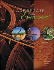
- Aggregate and the Environment (Agi Environmental Awareness)
- Geochemical Data for Stream Sediment and Surface Water Samples from Panther Creek, the Middle Fork of the Salmon River, and the Main Salmon River, Col
- Pesticides in the Hydrologic
- Minerals Yearbook, Volume III : Area Reports
- Minerals Yearbook : Domestic
- Minerals Yearbook : Area Reports
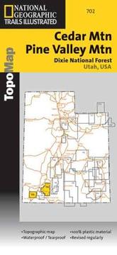
- Cedar Mounatin Pine Valley Map (National Forest/BLM)
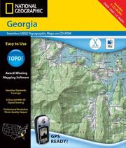
- National Geographic Topographical Georgia
- Putting Down Roots in Earthquake Country
- Minerals Yearbook 3 : Area Reports
- Minerals Yearbook Vol. 3 : Area Reports
- Minerals Yearbook, 2006, V. 3, Area Reports, International, Africa and the Middle East
- Minerals Yearbook - Area Reports; International Review
- 100 topographic maps illustrating physiographic features
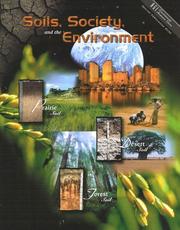
- Soil, Society and the Environment
- Minerals Yearbook, Volume III : Asia and the Pacific : Area Reports
- Map of Yosemite Valley, Yosemite National Park and Wilderness, California, Mariposa County
- An Update of Quaternary Faults of Central and Eastern Oregon (U.S. Geological Survey Open-File Report)
- Integrated Investigations of Environmental Effects of Historical Mining in the Basin and Boulder Mining Districts, Boulder River Watershed, Jefferson
- Proceedings of the Federal Interagency Sediment Monitoring Instrument and Analysis Research Workshop, September 9-11, 2003, Flagstaff, Arizona (U.S. Geological Survey Circular)
- Topographic Map of Wonno, State of Chuuk (Formerly Truk), Federated States of Micronesia
- Mineral Commodity Summaries
- Celebrating 125 Years of the U.S. Geological Survey (U.S. Geological Survey Circular)
- A Science Strategy To Support Management Decisions Related To Hypoxia In The Northern Gulf Of Mexico And Excess Nutrients In The Mississippi River (Circular (Geological Survey (U.S.), 1270.)
- Topographic Map of Tol South, State of Chuuk (Formerly Truk), Federated States of Micronesia
- Topographic Map of Meseong, State of Chuuk (Formerly Truk), Federated States of Micronesia





Author data: Open Library