Dorian Gerhold
Books
- London Parish Maps to 1900
- Putney and Roehampton in 1665
- Road transport in the horse-drawn era
- Packhorses and wheeled vehicles in England, 1550-1800
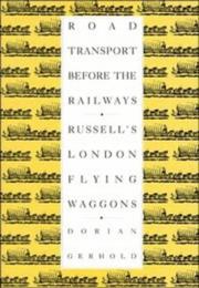
- Road transport before the railways
- London Bridge and Its Houses, C. 1209-1761
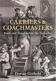
- Carariers and Coachmasters
- Putney in 1636
- Villas and mansions of Roehampton and Putney Heath
- London plotted
- John Corris's map of Wandsworth in 1787
- Putney and Roehampton Past
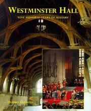
- Westminster Hall
- The Rise and Rise of Road Transport, 1700–1990
- Courts of Equity
- Putney property holders in 1787
- Wandsworth Past
- The rise and rise of road transport, 1700-1990
- A map of Putney in 1787

Author data: Open Library