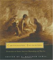
Cartographic encounters
MapsInuitIndians of North AmericaIndian cartographyFirst contact with EuropeansDiscovery and explorationCartographyFirst contact with other peoples
Ever since a native American prepared a paper "charte" of the lower Colorado River for the Spaniard Hernando de Alarcon in 1540, native Americans have been making maps in the course of encounters with whites (the most recent maps often support land claims). This book charts the history of these cartographic encounters, examining native maps and mapmaking from the earliest contacts onward.
Writing a summary for young readers…
For young readers
Book data: Open Library