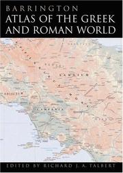
Barrington Atlas of the Greek and Roman World
by Richard J. A. Talbert, Roger S. Bagnall
The *Barrington Atlas*, created by the Classical Atlas Project (now, the [Ancient World Mapping Center][1]), is a reference work of permanent value. It has an exceptionally broad appeal to everyone worldwide with an interest in ancient Greeks and Romans, the lands they penetrated, and the peoples and cultures they encountered in Europe, North Africa and Western Asia. In 99 full-color maps spread over 175 pages, the *Barrington Atlas* re-creates the entire world of the Greeks and Romans from the British Isles to the Indian subcontinent and deep into North Africa. It spans the territory of more than 75 modern countries. Its large format (13 1/4 x 18 in. or 33.7 x 46.4 cm) has been custom-designed by the leading cartographic supplier, MapQuest.com, Inc., and is unrivaled for range, clarity, and detail. Over 70 experts, aided by an equal number of consultants, have worked from satellite-generated aeronautical charts to return the modern landscape to its ancient appearance, and to mark ancient names and features in accordance with the most up-to-date historical scholarship and archaeological discoveries. Chronologically, the *Barrington Atlas* spans archaic Greece to the Late Roman Empi
For young readers
Book data: Open Library